


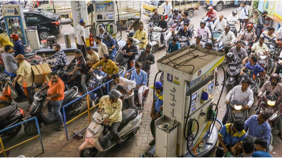
Kerala govt to publish buffer zone map
Wed 21 Dec 2022, 10:30:52
Thiruvananthapuram: The Kerala government has decided to publish the buffer zone map as protests intensify in the State over the government's allegedly "hasty" satellite survey of forest areas.
The decision to publish the map of the affected areas near wildlife sanctuaries and forest lands, submitted for approval of the Union Government, was taken at the high-level meeting convened by Chief Minister Pinarayi Vijayan yesterday, Dec 20.
The meeting also decides to submit an application in the Supreme Court to extend the deadline for filing data.
A team that includes members of Revenue, Forest, and Local Self government departments and technical experts will be constituted for field-level verification of
data.
data.
The objections against the satellite survey report of the State government have been gaining momentum over the last few days with locals of affected areas, the Congress party, and Christian religious organisations terming the survey as "inaccurate" and "lacking clarity". The Congress had threatened that agitations would be held if the Left government did not set aside its alleged "indifference" and address the concerns of the people on the buffer zone issue.
Meanwhile, the Supreme Court in June had directed that a buffer zone of 1 km be maintained around forests and sanctuaries across the country. Against this, the State government has moved review pleas in the apex court.
No Comments For This Post, Be first to write a Comment.
Most viewed from National


Most viewed from World


.jpg)


Todays Epaper

English Weekly


AIMIM News


Latest Urdu News
Most Viewed
May 26, 2020
Which cricket teams will reach the IPL 2026 finals?
Latest Videos View All
.jpg)
.jpg)
.jpg)


Like Us
Home
About Us
Advertise With Us
All Polls
Epaper Archives
Privacy Policy
Contact Us
Download Etemaad App
© 2026 Etemaad Daily News, All Rights Reserved.