


IMD: Heavy Rainfall Likely in Parts of Telangana on Oct 11-12
Fri 09 Oct 2020, 18:04:55

A low-pressure area formed over north Andaman Sea is likely to intensify into a depression and move towards the east coast, bringing heavy rainfall from Odisha to Andhra Pradesh and Karnataka and Telangana on Sunday and Monday, the IMD has warned. It said the low-pressure area formed this morning and is likely to turn into a depression in the next 24 hours. A low-pressure area is the first stage of any cyclone but it is not necessary that every low-pressure area intensifies into a cyclone.
However, tornadoes as a rule structure in the Bay of Bengal and player the east coast in October. Affected by this low-pressure zone and the resultant cyclonic dissemination, light-to-direct precipitation is likely all things considered spots with weighty (6.5-12 cm)
falls at disconnected places over Andaman and Nicobar Islands on Friday and Saturday. From Saturday, precipitation will likewise lash Odisha, beach front Andhra Pradesh, Telangana, Rayalaseema, inside Karnataka and Marathwada. It will escalate in the territories aside from Rayalaseema on Sunday and Monday, the India Meteorological Department said.
falls at disconnected places over Andaman and Nicobar Islands on Friday and Saturday. From Saturday, precipitation will likewise lash Odisha, beach front Andhra Pradesh, Telangana, Rayalaseema, inside Karnataka and Marathwada. It will escalate in the territories aside from Rayalaseema on Sunday and Monday, the India Meteorological Department said.
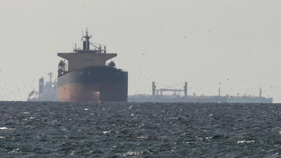
The sea is also expected to be rough. Fishermen are advised not to venture into the Andaman Sea and east-central Bay of Bengal on October 9-10, along and off Odisha, Andhra Pradesh, Tamil Nadu and Puducherry coasts and over Gulf of Mannar from early Sunday till Monday forenoon.
"Fishermen out at sea in the Bay of Bengal are advised to return to the coast," the IMD said in a statement.
No Comments For This Post, Be first to write a Comment.
Most viewed from Hyderabad


Most viewed from World


Todays Epaper

English Weekly


AIMIM News


Latest Urdu News
Most Viewed
May 26, 2020
Which cricket team is your favourite to win the T20 World Cup 2026?
Latest Videos View All
.jpg)
.jpg)
.jpg)


Like Us
Home
About Us
Advertise With Us
All Polls
Epaper Archives
Privacy Policy
Contact Us
Download Etemaad App
© 2026 Etemaad Daily News, All Rights Reserved.