


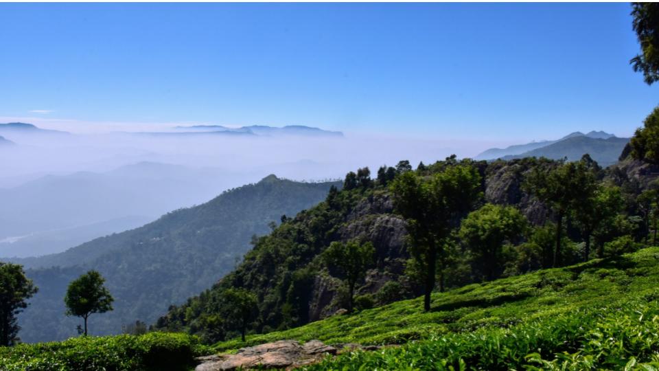
Hyderabad is likely to receive moderate to heavy showers on April 24 and 25: IMD
Tue 20 Apr 2021, 10:54:36
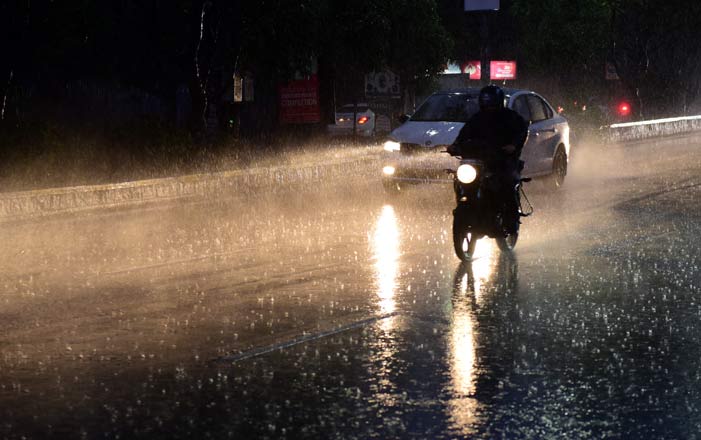
The city is likely to continue to witness light showers for the coming few days. Monday, just like Sunday, recorded a few light showers in different parts of the city. At the same time, though the thunderstorm storm warning issued by the Indian Meteorological Department (IMD), Hyderabad being only till April 17, it is now expected that there will not be an immediate rise in mercury levels.
Hyderabad received 18.4 mm of rainfall on Monday, with the temperature being recorded at 37.2 degrees Celsius. This is nearly one degree lesser than the normal temperature. The updated predictions forecast rain or thundershowers towards the evening or night till April 23. The city will receive moderate to heavy rainfall on April 24 and 25, officials said.
Speaking about the situation, Dr K Nagaratna, Director, IMD-Hyderabad, said: “We had predicted that the thunderstorm would
subside after April 17, however it seems like we will continue to receive the showers for a couple of days more. The trough that was predicted to have been passed, is again intensifying.”
subside after April 17, however it seems like we will continue to receive the showers for a couple of days more. The trough that was predicted to have been passed, is again intensifying.”
According to the forecast by the IMD, there is a trough above mean sea level that runs from Jharkhand to North Interior Karnataka across Chhattisgarh and Telangana, due to which the State is receiving the rainfall. On Monday, several districts in the State, including Adilabad, Bhadrachalam, Mahabubnagar, Khammam, and Nizamabad received moderate to heavy rainfall. These places are likely to witness more showers in the coming days.
The highest maximum temperature of 41.3 degrees Celsius was recorded from Adilabad by the IMD on Monday, accompanied with 5 mm rainfall. Mahabubnagar received the highest rainfall of 48.8 mm.
No Comments For This Post, Be first to write a Comment.
Most viewed from Hyderabad


Most viewed from World


.jpg)


Todays Epaper

English Weekly


AIMIM News


Latest Urdu News
Most Viewed
May 26, 2020
Which cricket team is your favourite to win the T20 World Cup 2026?
Latest Videos View All
.jpg)
.jpg)
.jpg)


Like Us
Home
About Us
Advertise With Us
All Polls
Epaper Archives
Privacy Policy
Contact Us
Download Etemaad App
© 2026 Etemaad Daily News, All Rights Reserved.