


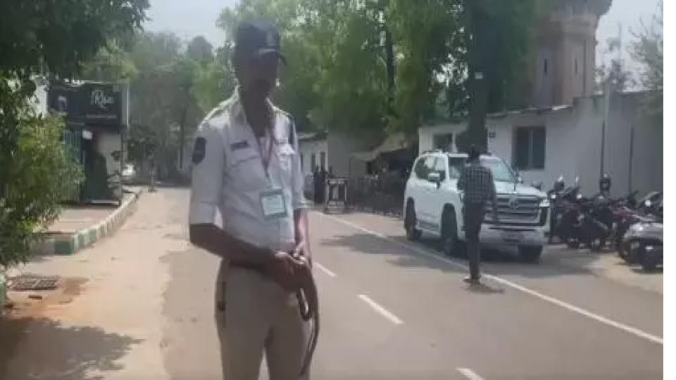
GHMC launches mobile app for real-time road safety inspections
Fri 31 Oct 2025, 01:09:11
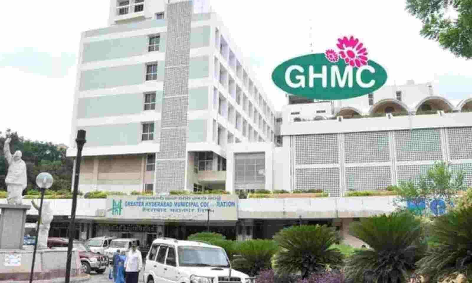
The GHMC has launched a Periodic Public Safety Inspection app developed using ArcGIS Field Maps, to ensure public safety and better road infrastructure management across the city.
The mobile-based application enables field engineers to record, update and capture geo-tagged photographs of road issues such as potholes, open manholes, damaged catch pits, protruding bars or stones, open electrical boxes on footpaths and improper barricading for ongoing works, all directly from the field. Officials said
the app would enable real-time tracking, faster inspections and transparent reporting, ensuring higher efficiency, accountability and safety in road maintenance operations.
the app would enable real-time tracking, faster inspections and transparent reporting, ensuring higher efficiency, accountability and safety in road maintenance operations.
Key features of the app include timely detection of road damages, GIS-enabled, accurate data capture for quick decisions, evidence-based monitoring through geo-tagged photos and GPS data and transparency and accountability via centralised dashboards tracking issues from inspection to resolution, a press release said.
No Comments For This Post, Be first to write a Comment.
Most viewed from Hyderabad


Most viewed from World


.jpg)


Todays Epaper

English Weekly


AIMIM News


Latest Urdu News
Most Viewed
May 26, 2020
Which cricket team is your favourite to win the T20 World Cup 2026?
Latest Videos View All
.jpg)
.jpg)
.jpg)


Like Us
Home
About Us
Advertise With Us
All Polls
Epaper Archives
Privacy Policy
Contact Us
Download Etemaad App
© 2026 Etemaad Daily News, All Rights Reserved.