


Heavy rain likely in Telangana in next 24 hours
Thu 20 Sep 2018, 12:22:36

Heavy to very heavy rains are expected across the State over the next 48 hours as the well-marked low pressure area lying over east central Bay of Bengal is turning into a depression and is likely to strengthen further into a deep depression over the next 24 hours.
The State had already registered heavy rainfall at isolated places in the districts of Jayashankar Bhupalpally and Bhadradri Kothagudem since Tuesday, with Eturnagaram and Tekulapalle recording highest rainfall of 7 cm each.
The Indian Meteorological Department on Wednesday issued a heavy rainfall warning stating that the deep depression, which is expected to be formed in the next 24 hours, is likely to move west-northwestwards towards north Andhra Pradesh and south Odisha coasts.
The
system is likely to make a landfall between Kalingapatnam-Puri late night Thursday or early morning Friday. A trough also runs across the cyclonic circulation associated with the low pressure system.
system is likely to make a landfall between Kalingapatnam-Puri late night Thursday or early morning Friday. A trough also runs across the cyclonic circulation associated with the low pressure system.
As a result, heavy to very heavy rain is very likely to occur at isolated places in the districts of Kumuram Bhim, Mancherial, Peddapalle, Karimnagar, Jayashankar Bhupalpally, Warangal, Mahabubad, Bhadradri Kothagudem, Khammam, Suryapet and Nalgonda. Thunderstorm, along with lightning, is also very likely to occur at isolated places in all the districts. Many places would see light to moderate rain or thundershowers.
Rain occurred at a few places over Telangana in the last 24 hours. However, there was no major impact on normal life.
No Comments For This Post, Be first to write a Comment.
Most viewed from Hyderabad


.jpg)
.jpg)

Most viewed from World


.jpg)
.jpg)
.jpg)
.jpg)

Todays Epaper
English Weekly

AIMIM News
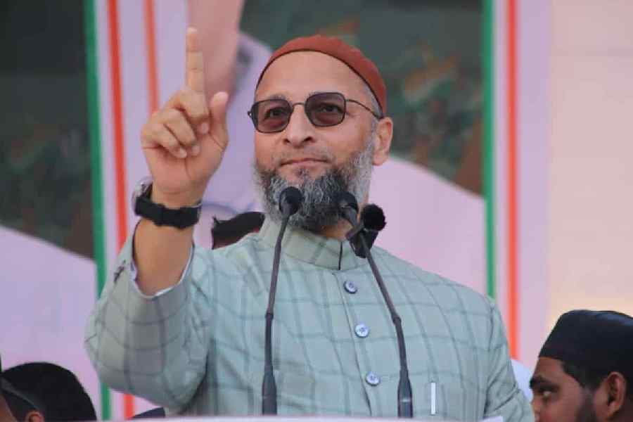
Owaisi Begins Election Campaign in Hyderabad
Apr 13, 2024
Bring back Indian workers in Israel: Owaisi
Apr 13, 2024

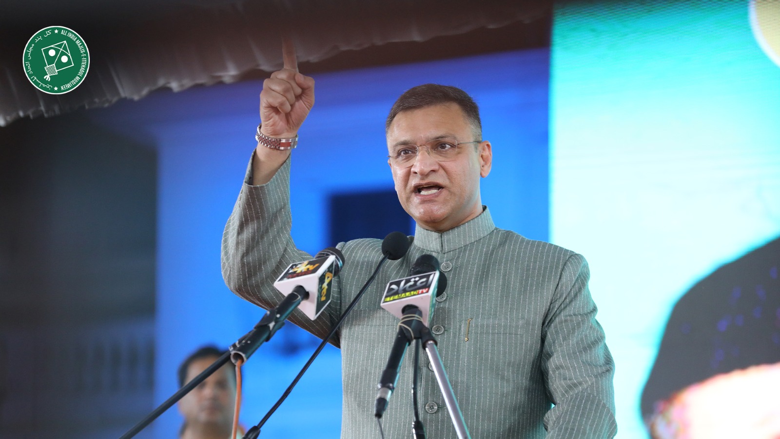
Darussalam to be closed tomorrow
Apr 06, 2024
Latest Urdu News
Most Viewed
May 26, 2020
Do you think Ruturaj Gaikwad would be a good captain for Chennai Super Kings?
Latest Videos View All


Like Us
Home
About Us
Advertise With Us
All Polls
Epaper Archives
Privacy Policy
Contact Us
Download Etemaad App
© 2024 Etemaad Daily News, All Rights Reserved.